
Nebelberg topographic map
Interactive map
Click on the map to display elevation.
About this map
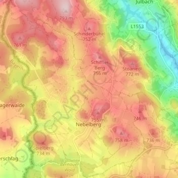
Name: Nebelberg topographic map, elevation, terrain.
Location: Nebelberg, Bezirk Rohrbach, Upper Austria, 4154, Austria (48.61534 13.81407 48.65871 13.86690)
Average elevation: 676 m
Minimum elevation: 522 m
Maximum elevation: 791 m