
Wilson Creek topographic map
Interactive map
Click on the map to display elevation.
About this map
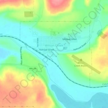
Name: Wilson Creek topographic map, elevation, terrain.
Location: Wilson Creek, Grant County, Washington, USA (47.41278 -119.13347 47.42920 -119.10688)
Average elevation: 415 m
Minimum elevation: 381 m
Maximum elevation: 472 m