
A Silva topographic map
Interactive map
Click on the map to display elevation.
About this map
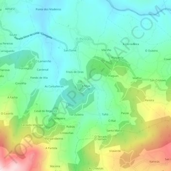
Name: A Silva topographic map, elevation, terrain.
Location: A Silva, Orense, Galicia, 32811, España (42.15573 -8.04249 42.19573 -8.00249)
Average elevation: 443 m
Minimum elevation: 285 m
Maximum elevation: 810 m
Other topographic maps
Click on a map to view its topography, its elevation and its terrain.