
White Lake topographic map
Interactive map
Click on the map to display elevation.
About this map
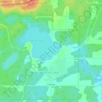
Name: White Lake topographic map, elevation, terrain.
Location: White Lake, Langlade County, Wisconsin, United States (45.14998 -88.78519 45.17568 -88.75381)
Average elevation: 397 m
Minimum elevation: 382 m
Maximum elevation: 432 m