
Chatham Township topographic map
Interactive map
Click on the map to display elevation.
About this map
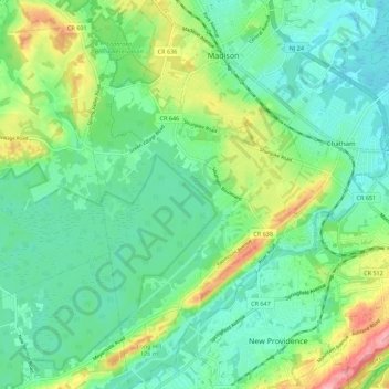
Name: Chatham Township topographic map, elevation, terrain.
Location: Chatham Township, Morris County, New Jersey, USA (40.68803 -74.45518 40.77163 -74.39069)
Average elevation: 86 m
Minimum elevation: 51 m
Maximum elevation: 169 m