
Lake Assad topographic map
Interactive map
Click on the map to display elevation.
About this map
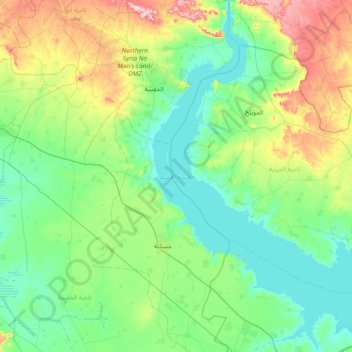
Name: Lake Assad topographic map, elevation, terrain.
Location: Lake Assad, Ar-Raqqah, Syria (35.77697 38.01892 36.38108 38.57156)
Average elevation: 367 m
Minimum elevation: 297 m
Maximum elevation: 608 m
Other topographic maps
Click on a map to view its topography, its elevation and its terrain.
Muhafazat Dayr az Zawr
Muhafazat Dayr az Zawr, Ar Raqqah, Ar-Raqqah, Syria
Average elevation: 375 m