
Red Cliff topographic map
Interactive map
Click on the map to display elevation.
About this map
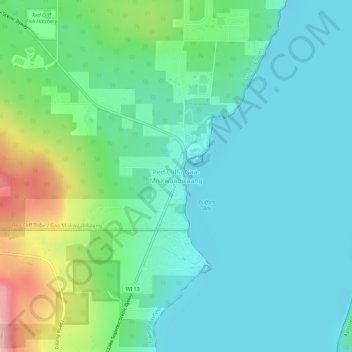
Name: Red Cliff topographic map, elevation, terrain.
Average elevation: 215 m
Minimum elevation: 173 m
Maximum elevation: 349 m
Other topographic maps
Click on a map to view its topography, its elevation and its terrain.
South Shore Lake Superior Fish and Wildlife Area
United States > Wisconsin > Bayfield County
South Shore Lake Superior Fish and Wildlife Area, Town of Washburn, Bayfield County, Wisconsin, United States
Average elevation: 261 m