
Mont Ham topographic map
Interactive map
Click on the map to display elevation.
About this map
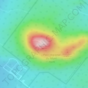
Name: Mont Ham topographic map, elevation, terrain.
Location: Mont Ham, Ham-Sud, Les Sources, Estrie, Quebec, Canada (45.79093 -71.63387 45.79103 -71.63377)
Average elevation: 430 m
Minimum elevation: 333 m
Maximum elevation: 695 m