
Kashan topographic map
Interactive map
Click on the map to display elevation.
About this map
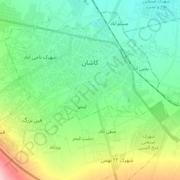
Name: Kashan topographic map, elevation, terrain.
Average elevation: 967 m
Minimum elevation: 912 m
Maximum elevation: 1,229 m
Kashan has a hot desert climate with cold winters (although warmer than other Iranian cities) and hot, sometimes very hot summers. Kashan is significantly warmer than other cities in the Iranian Plateau due to its lower elevation. Its climate is somewhat similar to Qom.