
Taku topographic map
Interactive map
Click on the map to display elevation.
About this map
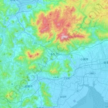
Name: Taku topographic map, elevation, terrain.
Location: Taku, Saga Prefecture, Kyushu Region, 846-0002, Japan (33.12857 129.95002 33.44857 130.27002)
Average elevation: 167 m
Minimum elevation: -8 m
Maximum elevation: 1,040 m