
Wollaston topographic map
Interactive map
Click on the map to display elevation.
About this map
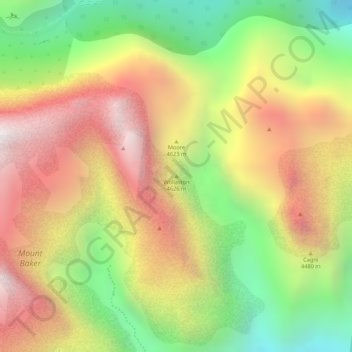
Name: Wollaston topographic map, elevation, terrain.
Location: Wollaston, Kasese, Western Region, Uganda (0.36449 29.90997 0.36459 29.91007)
Average elevation: 4,140 m
Minimum elevation: 3,594 m
Maximum elevation: 4,615 m
Other topographic maps
Click on a map to view its topography, its elevation and its terrain.
Coronation Glacier
Coronation Glacier, South Ridge Route, Kasese, Western Region, Uganda
Average elevation: 4,405 m
Mount Luigi di Savoia
Mount Luigi di Savoia, South Ridge Route, Kasese, Western Region, Uganda
Average elevation: 4,114 m