
Landkreis Penghu topographic map
Interactive map
Click on the map to display elevation.
About this map
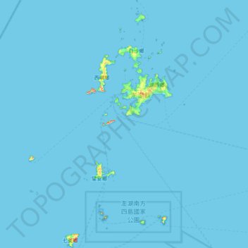
Name: Landkreis Penghu topographic map, elevation, terrain.
Location: Landkreis Penghu, Provinz Taiwan, Taiwan (23.18658 119.31446 23.78711 119.70240)
Average elevation: 0 m
Minimum elevation: 0 m
Maximum elevation: 63 m
Other topographic maps
Click on a map to view its topography, its elevation and its terrain.
大埤鄉
Taiwan > Provinz Taiwan > 大埤鄉
大埤鄉, Landkreis Yunlin, Provinz Taiwan, 631, Taiwan
Average elevation: 25 m