
Cumberland County topographic map
Interactive map
Click on the map to display elevation.
About this map
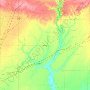
Name: Cumberland County topographic map, elevation, terrain.
Location: Cumberland County, Illinois, United States (39.17010 -88.47121 39.37896 -88.00777)
Average elevation: 189 m
Minimum elevation: 150 m
Maximum elevation: 241 m