
Schuler topographic map
Interactive map
Click on the map to display elevation.
About this map
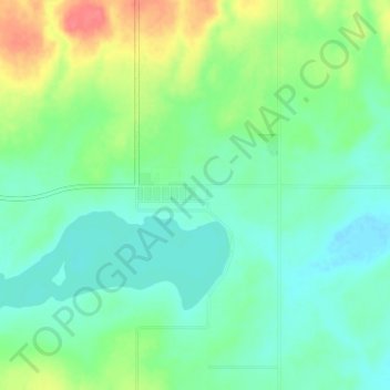
Name: Schuler topographic map, elevation, terrain.
Location: Schuler, Division No. 1, Alberta, Canada (50.31814 -110.10711 50.35814 -110.06711)
Average elevation: 801 m
Minimum elevation: 784 m
Maximum elevation: 840 m
Other topographic maps
Click on a map to view its topography, its elevation and its terrain.
Bow Island
Canada > Alberta > Division No. 1
Bow Island, Division No. 1, Alberta, T0K 0G0, Canada
Average elevation: 795 m