
Clayton topographic map
Interactive map
Click on the map to display elevation.
About this map
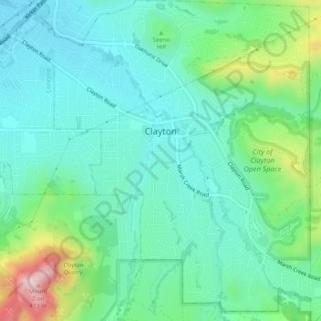
Name: Clayton topographic map, elevation, terrain.
Location: Clayton, Contra Costa County, California, 94517, USA (37.91976 -121.95658 37.95586 -121.91175)
Average elevation: 186 m
Minimum elevation: 89 m
Maximum elevation: 486 m