
Levis topographic map
Interactive map
Click on the map to display elevation.
About this map
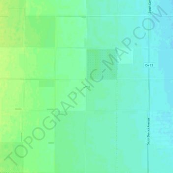
Name: Levis topographic map, elevation, terrain.
Location: Levis, Fresno County, California, USA (36.60356 -120.42628 36.64356 -120.38628)
Average elevation: 61 m
Minimum elevation: 55 m
Maximum elevation: 68 m