
Wolf topographic map
Interactive map
Click on the map to display elevation.
About this map
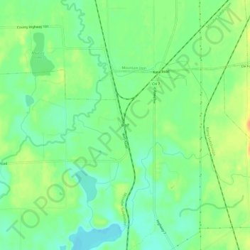
Name: Wolf topographic map, elevation, terrain.
Location: Wolf, Saint Louis County, Minnesota, USA (47.43048 -92.62880 47.47048 -92.58880)
Average elevation: 429 m
Minimum elevation: 414 m
Maximum elevation: 449 m