
Maugerville topographic map
Interactive map
Click on the map to display elevation.
About this map
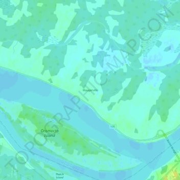
Name: Maugerville topographic map, elevation, terrain.
Average elevation: 4 m
Minimum elevation: -2 m
Maximum elevation: 19 m
Other topographic maps
Click on a map to view its topography, its elevation and its terrain.
Oak Point
Canada > New Brunswick > Maugerville Parish
Oak Point, Maugerville Parish, Sunbury County, New Brunswick, E2V 3G7, Canada
Average elevation: 5 m
Bull Pasture Brook
Canada > New Brunswick > Maugerville Parish
Bull Pasture Brook, Maugerville Parish, Sunbury County, New Brunswick, Canada
Average elevation: 95 m