
Port Hood topographic map
Interactive map
Click on the map to display elevation.
About this map
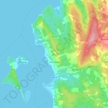
Name: Port Hood topographic map, elevation, terrain.
Location: Port Hood, Nova Scotia, B0E 2W0, Canada (45.98544 -61.56267 46.05703 -61.50160)
Average elevation: 35 m
Minimum elevation: -2 m
Maximum elevation: 149 m