
viewpoint on summit from "the pamirs" map topographic map
Interactive map
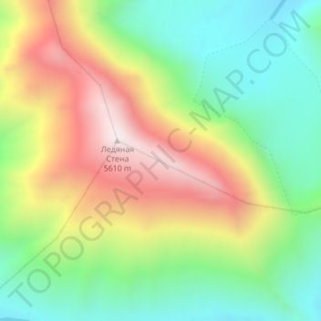
Click on the map to display elevation.
About this map
Name: viewpoint on summit from "the pamirs" map topographic map, elevation, terrain.
Average elevation: 5,039 m
Minimum elevation: 4,633 m
Maximum elevation: 5,608 m