
Norddal topographic map
Interactive map
Click on the map to display elevation.
About this map
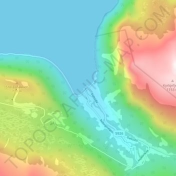
Name: Norddal topographic map, elevation, terrain.
Location: Norddal, Fjord, Møre og Romsdal, 6214, Norway (62.23382 7.21374 62.27382 7.25374)
Average elevation: 370 m
Minimum elevation: -2 m
Maximum elevation: 1,177 m