
St. Thomas Mount Cantonment topographic map
Interactive map
Click on the map to display elevation.
About this map
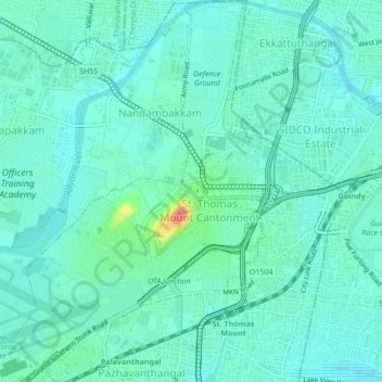
Name: St. Thomas Mount Cantonment topographic map, elevation, terrain.
Location: St. Thomas Mount Cantonment, Alandur, Tamil Nadu, India (12.98732 80.17430 13.02888 80.20404)
Average elevation: 13 m
Minimum elevation: 0 m
Maximum elevation: 71 m