
Melfa topographic map
Interactive map
Click on the map to display elevation.
About this map
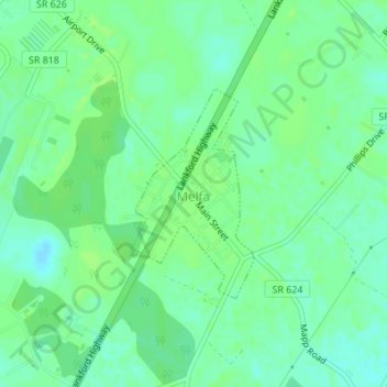
Name: Melfa topographic map, elevation, terrain.
Location: Melfa, Accomack County, Virginia, United States of America (37.64217 -75.74673 37.65684 -75.73593)
Average elevation: 14 m
Minimum elevation: 8 m
Maximum elevation: 17 m