
Fassifern topographic map
Interactive map
Click on the map to display elevation.
About this map
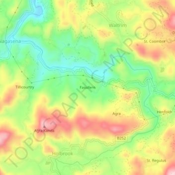
Name: Fassifern topographic map, elevation, terrain.
Location: Fassifern, Nuwara Eliya District, Central Province, Sri Lanka (6.87807 80.67793 6.91807 80.71793)
Average elevation: 1,377 m
Minimum elevation: 1,250 m
Maximum elevation: 1,523 m