
Greater Hyderabad Municipal Corporation North Zone topographic map
Interactive map
Click on the map to display elevation.
About this map
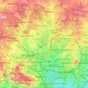
Name: Greater Hyderabad Municipal Corporation North Zone topographic map, elevation, terrain.
Average elevation: 566 m
Minimum elevation: 497 m
Maximum elevation: 634 m