
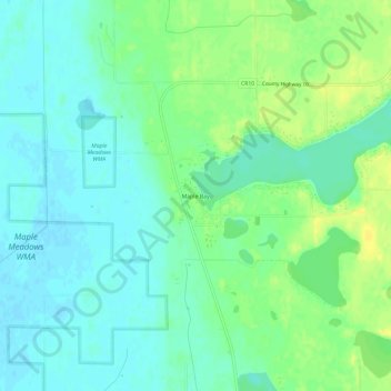
Maple Bay topographic map
Interactive map
Click on the map to display elevation.
About this map
Name: Maple Bay topographic map, elevation, terrain.
Location: Maple Bay, Polk County, Minnesota, United States (47.61580 -96.24505 47.65580 -96.20505)
Average elevation: 357 m
Minimum elevation: 349 m
Maximum elevation: 369 m
Other topographic maps
Click on a map to view its topography, its elevation and its terrain.
Fosston
United States > Minnesota > Polk County
Fosston, Polk County, Minnesota, 56542, United States
Average elevation: 393 m