
Golding topographic map
Interactive map
Click on the map to display elevation.
About this map
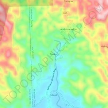
Name: Golding topographic map, elevation, terrain.
Location: Golding, Manchester, Middlesex County, Jamaika (18.18757 -77.64851 18.22757 -77.60851)
Average elevation: 324 m
Minimum elevation: 181 m
Maximum elevation: 528 m