
Hamilton Township topographic map
Interactive map
Click on the map to display elevation.
About this map
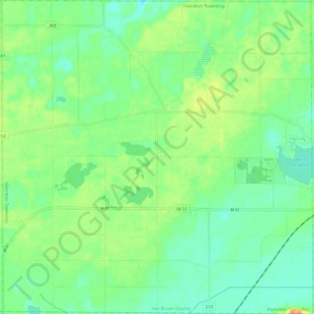
Name: Hamilton Township topographic map, elevation, terrain.
Location: Hamilton Township, Van Buren County, Michigan, United States (42.07007 -86.10824 42.15696 -85.99191)
Average elevation: 237 m
Minimum elevation: 220 m
Maximum elevation: 269 m
Other topographic maps
Click on a map to view its topography, its elevation and its terrain.
Mattawan
United States > Michigan > Van Buren County
Mattawan, Antwerp Township, Van Buren County, Michigan, 49071, United States
Average elevation: 263 m
Lawton
United States > Michigan > Van Buren County > Lawton
Lawton, Antwerp Township, Van Buren County, Michigan, United States
Average elevation: 249 m
Three Mile Lake
United States > Michigan > Van Buren County
Three Mile Lake, Paw Paw Township, Van Buren County, Michigan, United States
Average elevation: 234 m