
Saitama topographic map
Interactive map
Click on the map to display elevation.
About this map
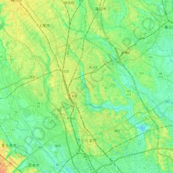
Name: Saitama topographic map, elevation, terrain.
Location: Saitama, Japan (35.82859 139.54604 36.00269 139.75734)
Average elevation: 13 m
Minimum elevation: 0 m
Maximum elevation: 32 m