
Schärding topographic map
Interactive map
Click on the map to display elevation.
About this map
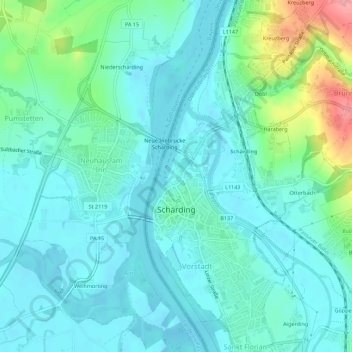
Name: Schärding topographic map, elevation, terrain.
Location: Schärding, Upper Austria, 4780, Austria (48.44212 13.42690 48.47889 13.45229)
Average elevation: 323 m
Minimum elevation: 301 m
Maximum elevation: 410 m