
Trient topographic map
Interactive map
Click on the map to display elevation.
About this map
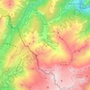
Name: Trient topographic map, elevation, terrain.
Location: Trient, Martigny, Wallis, 1929, Switzerland (45.98041 6.94868 46.08370 7.04524)
Average elevation: 2,019 m
Minimum elevation: 511 m
Maximum elevation: 3,523 m