
Sahel topographic map
Interactive map
Click on the map to display elevation.
About this map
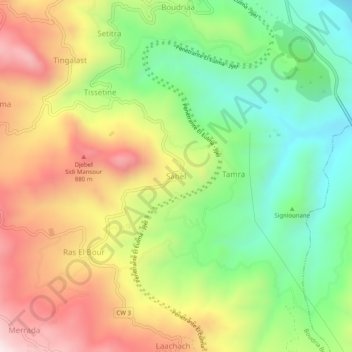
Name: Sahel topographic map, elevation, terrain.
Location: Sahel, Djimla District, Jijel, Algeria (36.57001 5.79790 36.61001 5.83790)
Average elevation: 579 m
Minimum elevation: 244 m
Maximum elevation: 990 m