
Buer topographic map
Interactive map
Click on the map to display elevation.
About this map
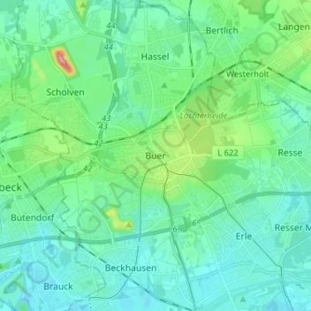
Name: Buer topographic map, elevation, terrain.
Location: Buer, Gelsenkirchen, North Rhine-Westphalia, 45894, Germany (51.53990 7.01272 51.61990 7.09272)
Average elevation: 61 m
Minimum elevation: 30 m
Maximum elevation: 198 m