
Baptist topographic map
Interactive map
Click on the map to display elevation.
About this map
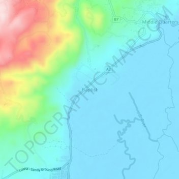
Name: Baptist topographic map, elevation, terrain.
Location: Baptist, Saint Elizabeth, Cornwall County, Jamaika (18.06773 -77.87076 18.10773 -77.83076)
Average elevation: 73 m
Minimum elevation: -1 m
Maximum elevation: 345 m