
Ban Ao Nang topographic map
Interactive map
Click on the map to display elevation.
About this map
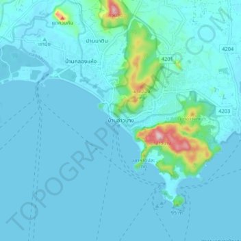
Name: Ban Ao Nang topographic map, elevation, terrain.
Location: Ban Ao Nang, Krabi Province, 8100, Thailand (7.99210 98.78255 8.07210 98.86255)
Average elevation: 27 m
Minimum elevation: -3 m
Maximum elevation: 315 m