
Dundee Township topographic map
Interactive map
Click on the map to display elevation.
About this map
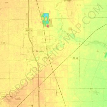
Name: Dundee Township topographic map, elevation, terrain.
Average elevation: 203 m
Minimum elevation: 172 m
Maximum elevation: 220 m
Other topographic maps
Click on a map to view its topography, its elevation and its terrain.
Ash Township
United States > Michigan > Monroe County
Ash Township, Monroe County, Michigan, 48117, United States
Average elevation: 185 m
Erie Township
United States > Michigan > Monroe County > Erie Township
Erie Township, Monroe County, Michigan, 48133, United States
Average elevation: 180 m