
Cherrybrook topographic map
Interactive map
Click on the map to display elevation.
About this map
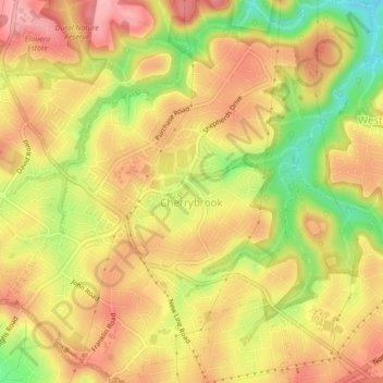
Name: Cherrybrook topographic map, elevation, terrain.
Average elevation: 159 m
Minimum elevation: 83 m
Maximum elevation: 208 m
Other topographic maps
Click on a map to view its topography, its elevation and its terrain.
Blue Mountains National Park
Blue Mountains National Park, View Street, East Blaxland, Blaxland, Sydney, Blue Mountains City Council, 2774, Australia
Average elevation: 456 m