
Quebec topographic map
Interactive map
Click on the map to display elevation.
About this map
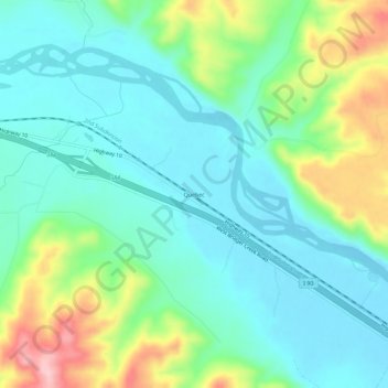
Name: Quebec topographic map, elevation, terrain.
Location: Quebec, Sweet Grass County, Montana, United States (45.70660 -109.67935 45.74660 -109.63935)
Average elevation: 1,204 m
Minimum elevation: 1,153 m
Maximum elevation: 1,337 m