
Gibbon topographic map
Interactive map
Click on the map to display elevation.
About this map
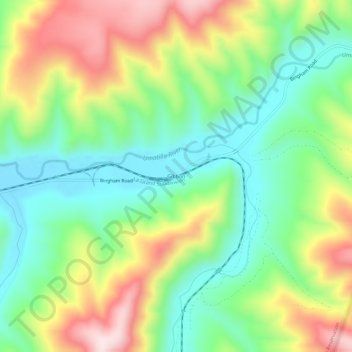
Name: Gibbon topographic map, elevation, terrain.
Location: Gibbon, Umatilla County, Oregon, United States of America (45.67958 -118.38496 45.71958 -118.34496)
Average elevation: 683 m
Minimum elevation: 516 m
Maximum elevation: 946 m