
Karaköy topographic map
Interactive map
Click on the map to display elevation.
About this map
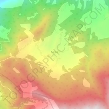
Name: Karaköy topographic map, elevation, terrain.
Location: Karaköy, Şavşat, Artvin, Black Sea Region, Turkey (41.22341 42.45216 41.26341 42.49216)
Average elevation: 1,844 m
Minimum elevation: 1,211 m
Maximum elevation: 2,379 m