
Radium topographic map
Interactive map
Click on the map to display elevation.
About this map
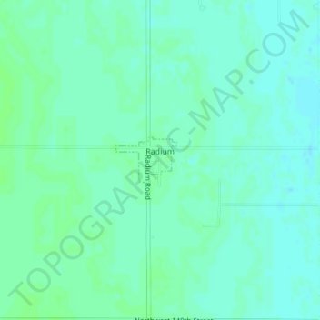
Name: Radium topographic map, elevation, terrain.
Location: Radium, Stafford County, Kansas, United States (38.17150 -98.89818 38.17537 -98.89164)
Average elevation: 596 m
Minimum elevation: 592 m
Maximum elevation: 599 m
Other topographic maps
Click on a map to view its topography, its elevation and its terrain.
St. John
United States > Kansas > Stafford County
St. John, Stafford County, Kansas, 67576, United States
Average elevation: 581 m