
Earlton topographic map
Interactive map
Click on the map to display elevation.
About this map
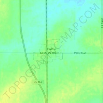
Name: Earlton topographic map, elevation, terrain.
Location: Earlton, Neosho County, Kansas, United States of America (37.58432 -95.47521 37.59058 -95.46553)
Average elevation: 292 m
Minimum elevation: 283 m
Maximum elevation: 301 m