
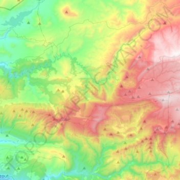
Imouzzer Ida Ou Tanane topographic map
Interactive map
Click on the map to display elevation.
About this map
Name: Imouzzer Ida Ou Tanane topographic map, elevation, terrain.
Average elevation: 709 m
Minimum elevation: 75 m
Maximum elevation: 1,656 m