
Rama topographic map
Interactive map
Click on the map to display elevation.
About this map
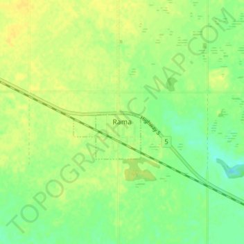
Name: Rama topographic map, elevation, terrain.
Location: Rama, Census Division No. 9, Saskatchewan, S0A 3H0, Canada (51.74015 -103.01792 51.78015 -102.97792)
Average elevation: 556 m
Minimum elevation: 544 m
Maximum elevation: 563 m