
Macrorie topographic map
Interactive map
Click on the map to display elevation.
About this map
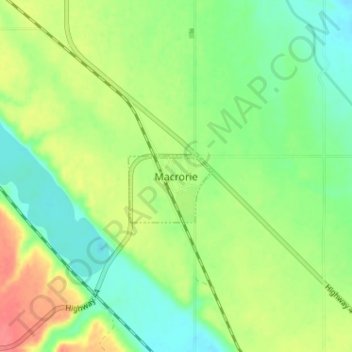
Name: Macrorie topographic map, elevation, terrain.
Location: Macrorie, Saskatchewan, S0L 2E0, Canada (51.30682 -107.10536 51.34682 -107.06536)
Average elevation: 592 m
Minimum elevation: 568 m
Maximum elevation: 626 m