
Musoma topographic map
Interactive map
Click on the map to display elevation.
About this map
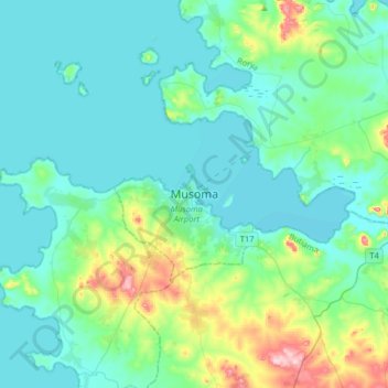
Name: Musoma topographic map, elevation, terrain.
Location: Musoma, Mara, Lake Zone, Tanzania (-1.65982 33.64830 -1.33982 33.96830)
Average elevation: 1,180 m
Minimum elevation: 1,130 m
Maximum elevation: 1,425 m