
Balsam Lake topographic map
Interactive map
Click on the map to display elevation.
About this map
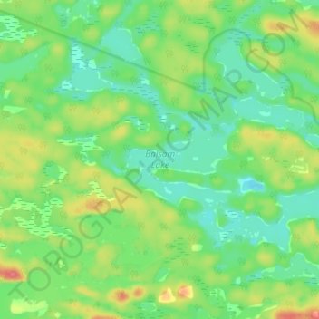
Name: Balsam Lake topographic map, elevation, terrain.
Average elevation: 236 m
Minimum elevation: 211 m
Maximum elevation: 279 m
Other topographic maps
Click on a map to view its topography, its elevation and its terrain.
Fleming Island
Fleming Island, Killarney, Sudbury District, Ontario, Canada
Average elevation: 201 m