
Port Fuad topographic map
Interactive map
Click on the map to display elevation.
About this map
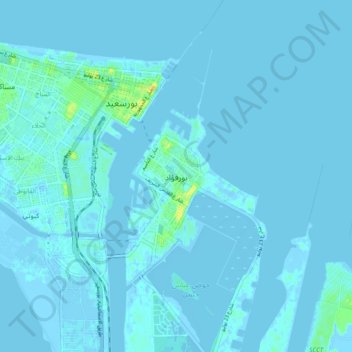
Name: Port Fuad topographic map, elevation, terrain.
Location: Port Fuad, Port Said, 42523, Egypt (31.20662 32.28007 31.28662 32.36007)
Average elevation: 1 m
Minimum elevation: -9 m
Maximum elevation: 27 m
Other topographic maps
Click on a map to view its topography, its elevation and its terrain.