
Lukunga topographic map
Interactive map
Click on the map to display elevation.
About this map
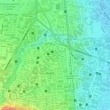
Name: Lukunga topographic map, elevation, terrain.
Location: Lukunga, Matete, Kinshasa, Democratic Republic of the Congo (-4.38626 15.34391 -4.38161 15.35288)
Average elevation: 294 m
Minimum elevation: 276 m
Maximum elevation: 325 m
Other topographic maps
Click on a map to view its topography, its elevation and its terrain.
Mont Ngafula
Democratic Republic of the Congo > Kinshasa
Mont Ngafula, Kinshasa, 00000, Democratic Republic of the Congo
Average elevation: 367 m
Lemba
Democratic Republic of the Congo > Kinshasa
Lemba, Kinshasa, Democratic Republic of the Congo
Average elevation: 351 m