
Sherborne Lake topographic map
Interactive map
Click on the map to display elevation.
About this map
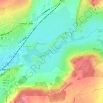
Name: Sherborne Lake topographic map, elevation, terrain.
Location: Sherborne Lake, Castleton, Dorset, England, United Kingdom (50.94506 -2.50390 50.95088 -2.48667)
Average elevation: 86 m
Minimum elevation: 51 m
Maximum elevation: 137 m